


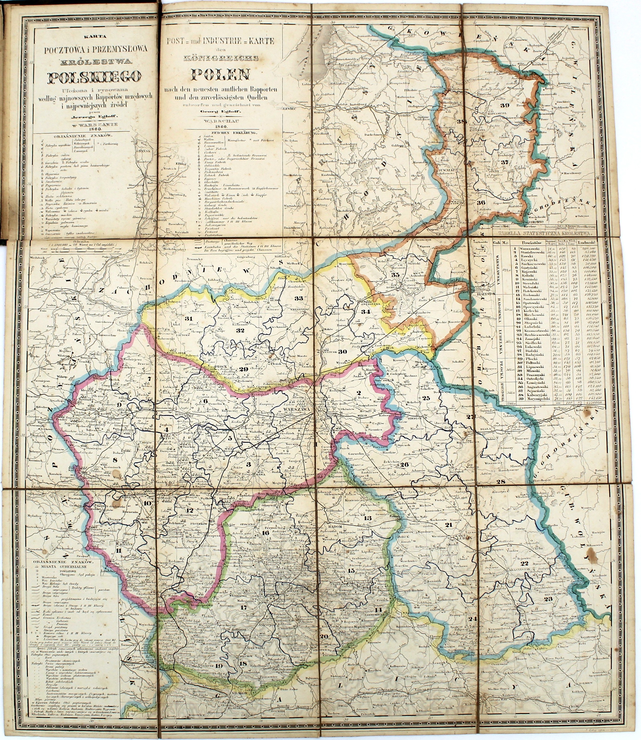
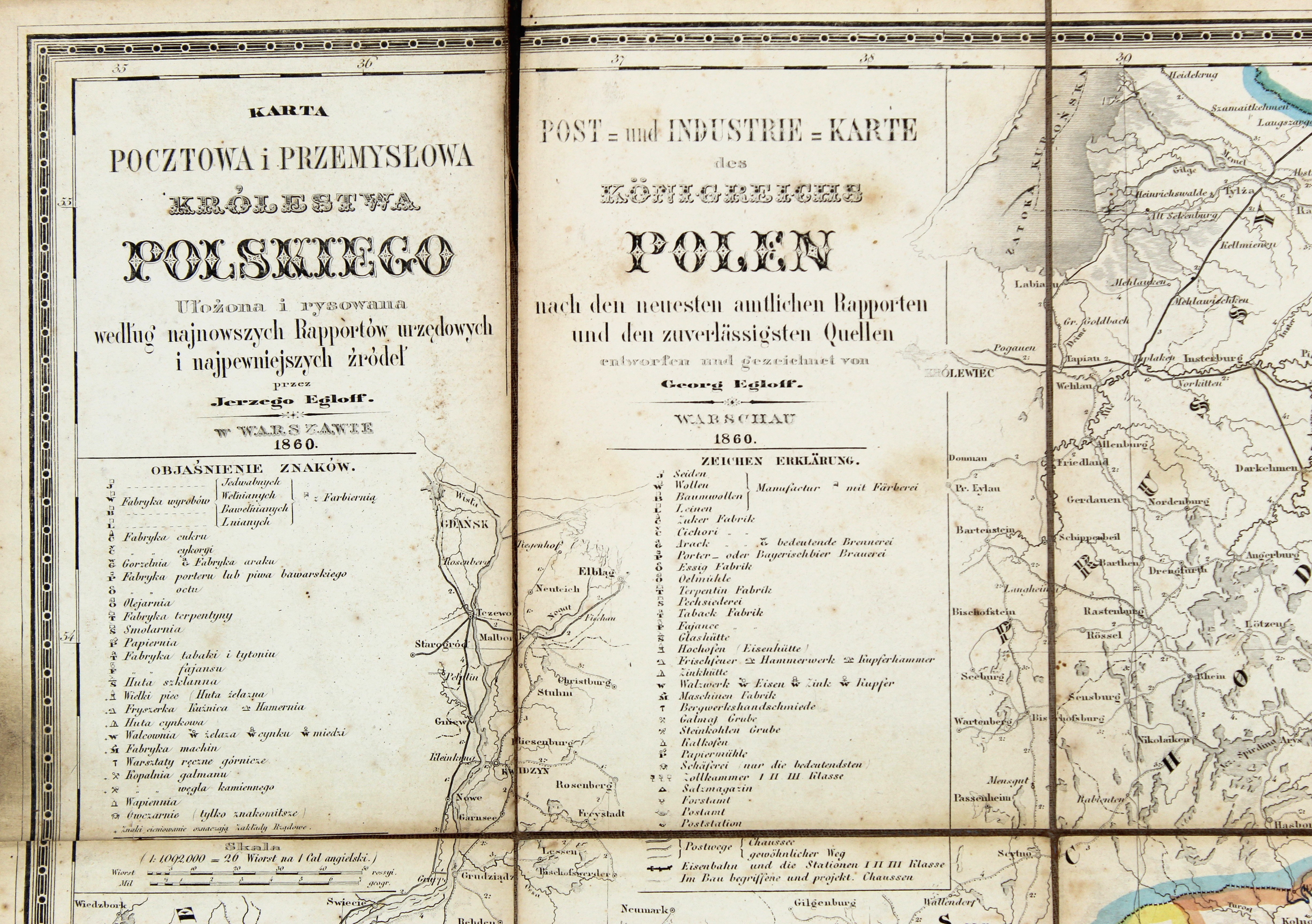
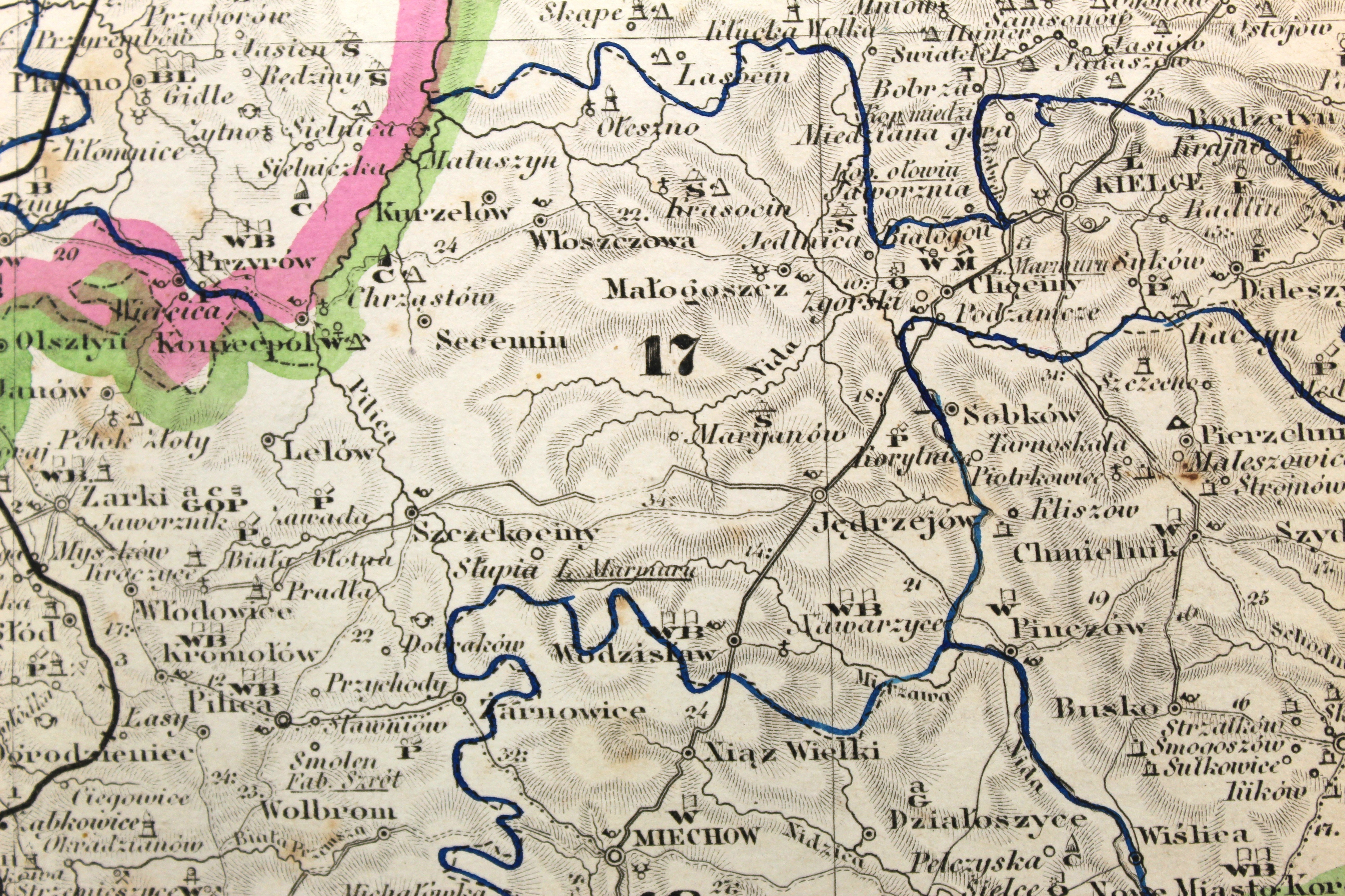
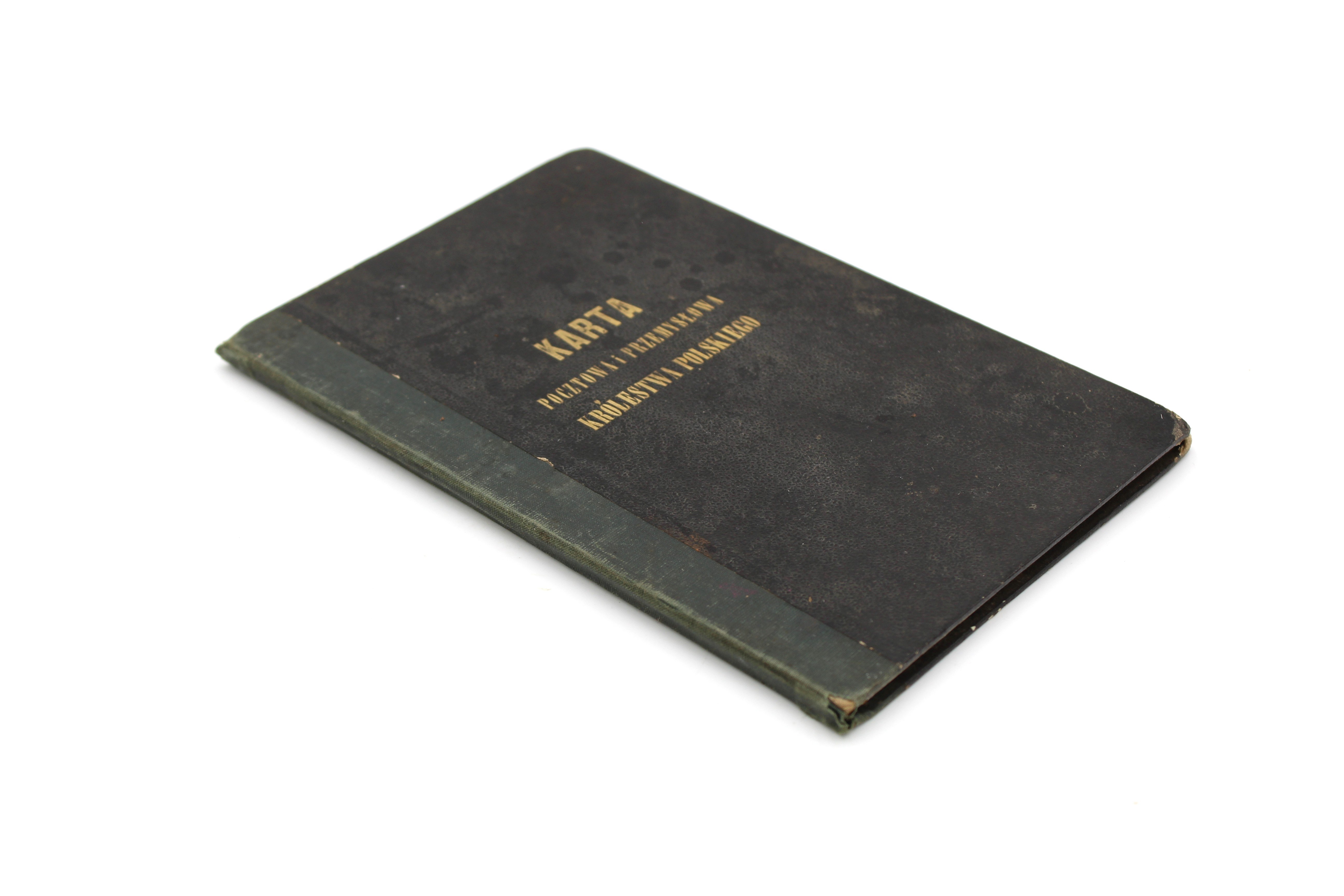
Jerzy Egloff, Post and Industrial Map of the Kingdom of Poland, Compiled and Drawn Based on the Latest Official Reports and the Most Reliable Sources. / Post and Industrial Map of the Kingdom of Poland Based on the Latest Official Reports and the Most Reliable Sources.
Warsaw 1860
Scale approx. 1:1,092,000, copperplate engraving, hand-colored borders, a sectional map mounted on canvas (dimensions when unfolded: 56.5 × 47 cm) in its original case with gilded title lettering on the front, measuring 20 × 13 cm.
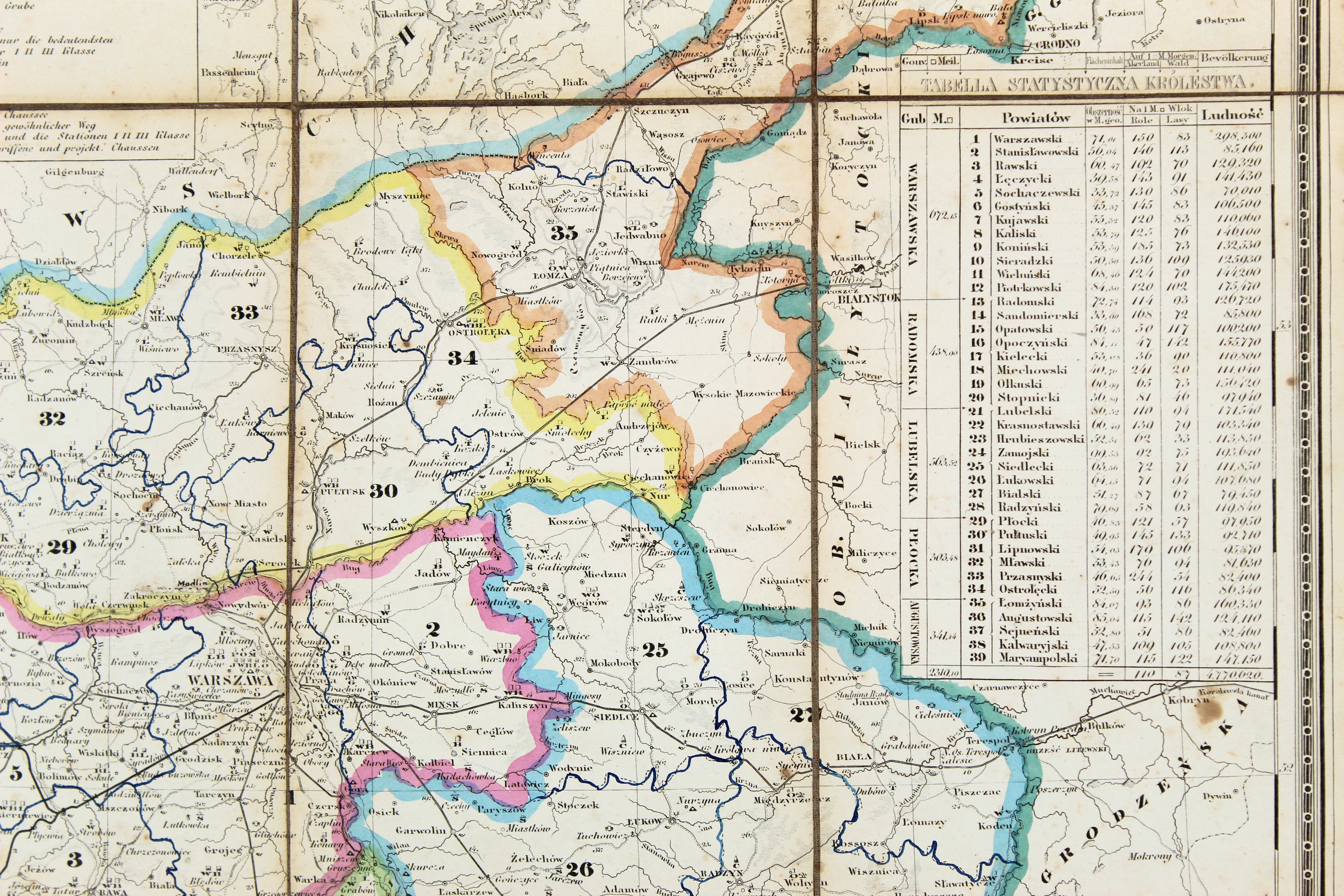
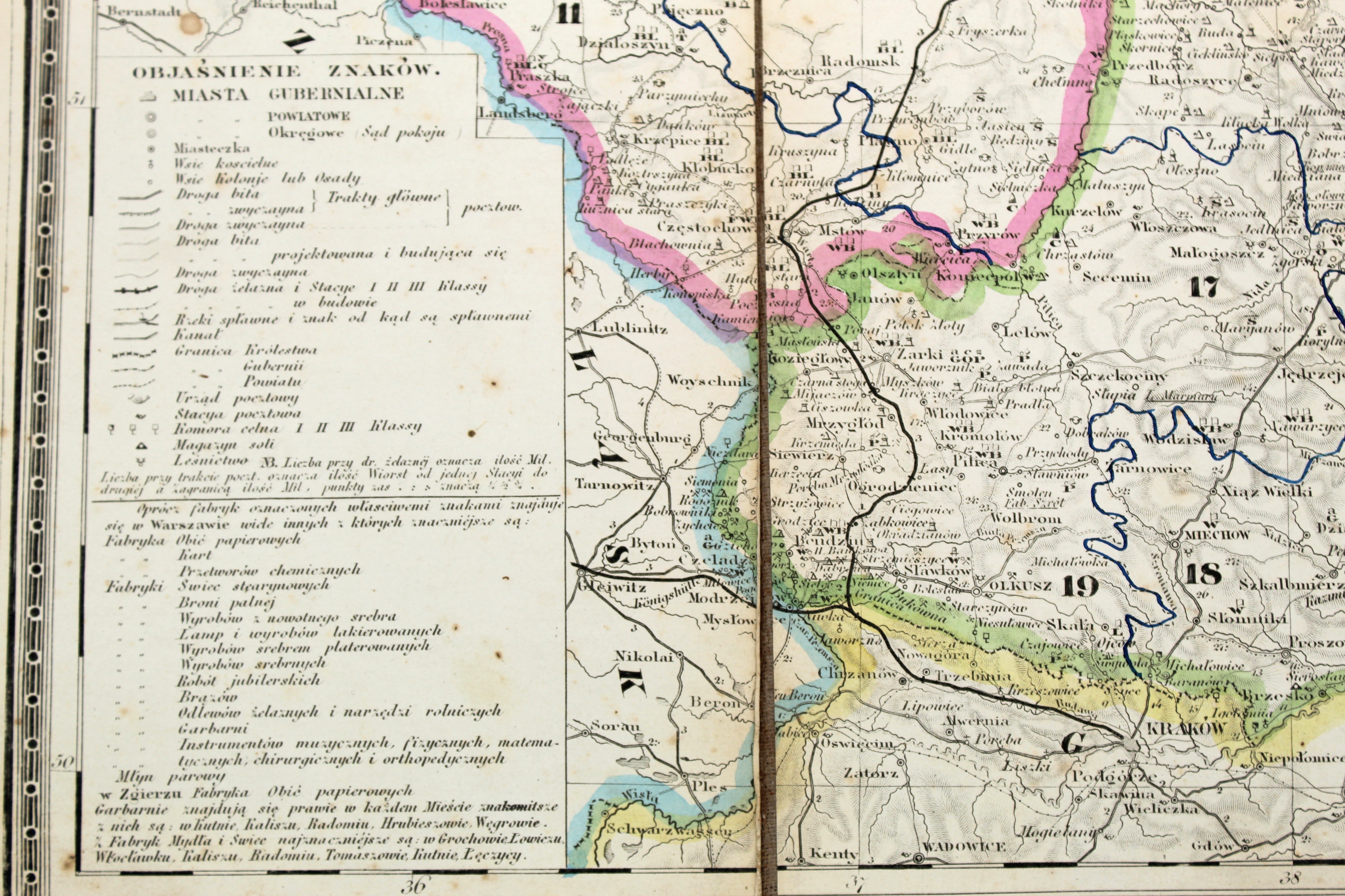
A specialized transportation and economic map of the Kingdom of Poland showing, among other things, the postal and transportation networks, roads, and industrial centers, including textile mills, sugar refineries, distilleries, breweries, oil mills, tar distilleries, paper mills, turpentine factories, machine factories, iron, zinc, and glass smelters, rolling mills, blast furnaces, mines, etc. On the right-hand side, a “Statistical Table of the Kingdom” is also included.
Rare. The map is virtually unavailable on the antiquarian market. Last auction listing in 2014.










