


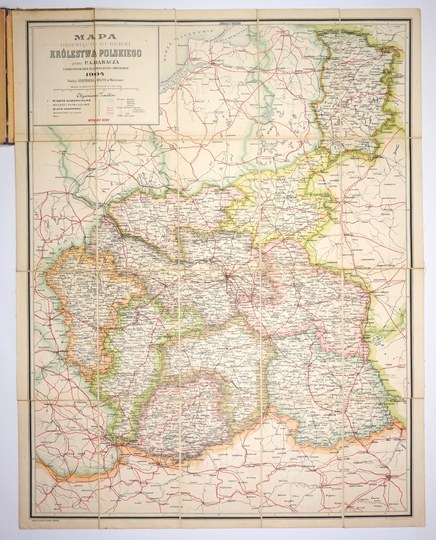
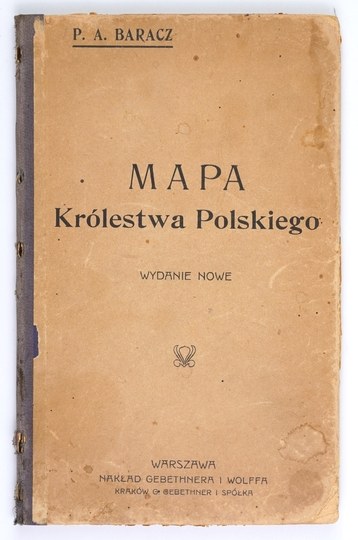
[POLAND]. Map of the ten governorates of the Kingdom of Poland by P. A. Baracha with marking of iron, beaten and ordinary roads. Map in color lithograph form. 74.1x57.3 cm.
Szaniawska II 137th New edition of the map compiled. by P. A. Baracz, published in Warsaw in 1904 by Gebethner and Wolff. Printed by Tow. Akc. S. Orgelbrand S-. Title in box in upper left corner, publishing data there, scale (1:840,000), linear scale and legend. Map publisher's cut into 20 parts glued together on linen. Preserved original paperback cover. Prominent rubbing and minor staining of the cover, map in good condition.





Последно разглеждани позиции
Влезте, за да се запознаете със списъка с артикулите
Любими
Влезте, за да се запознаете със списъка с артикулите