


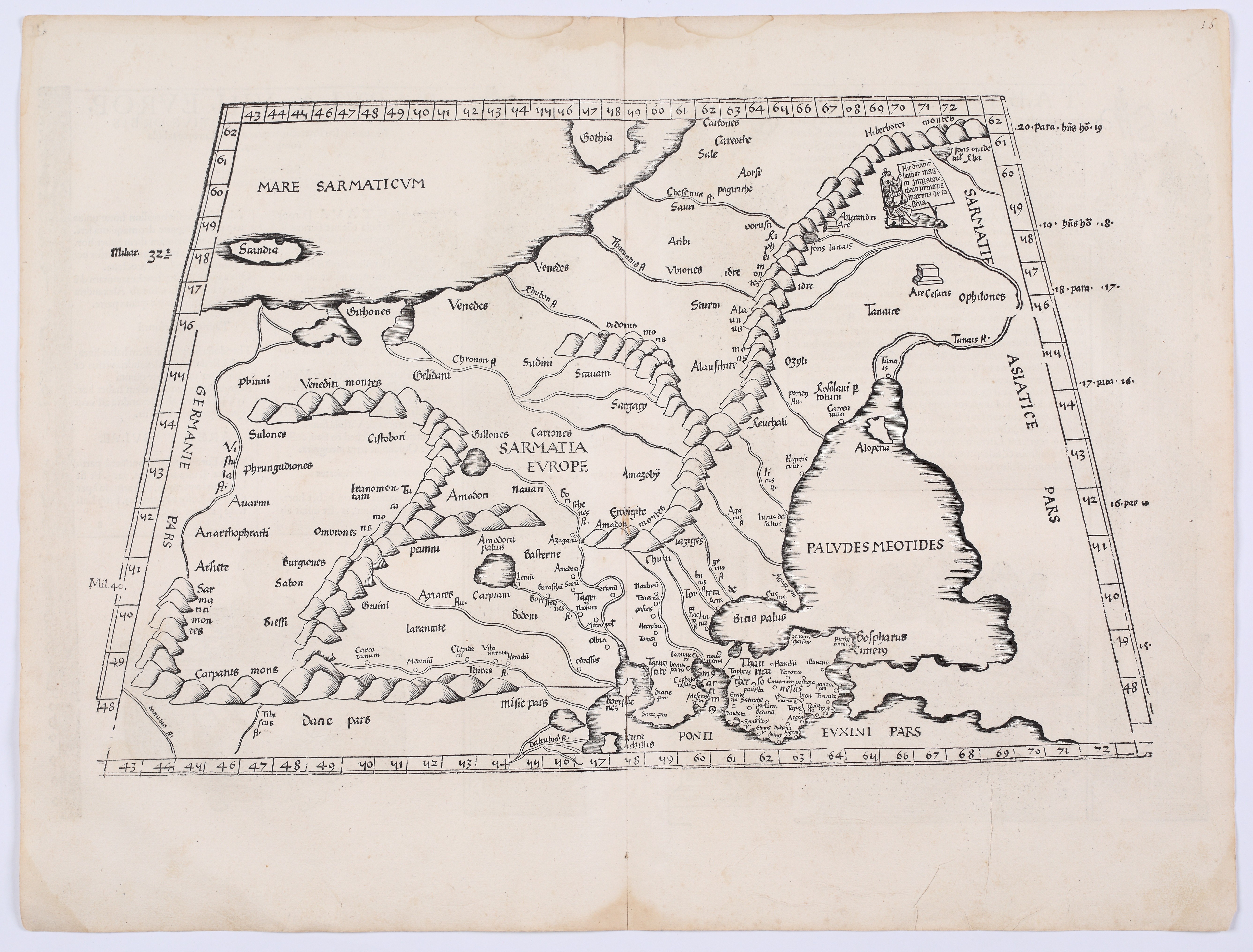
CLAUDIUS PTOLEMY (c. 100 – c. 168); FRIES, Lorenz (1489–1532) — Tabula VIII Europae: Sarmatia Europae. Lyon: Melchior and Gaspar Trechsel, 1535.
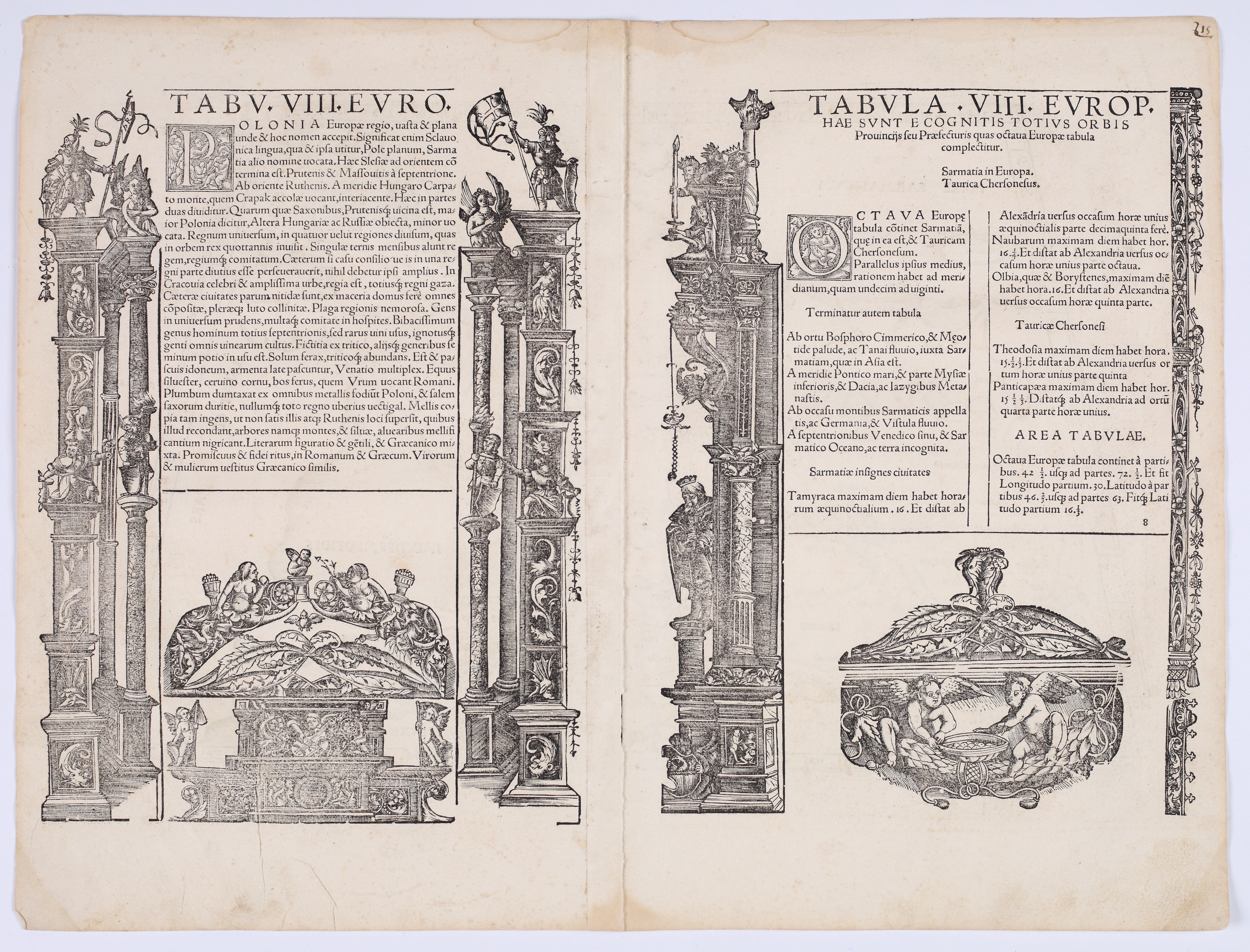
Woodcut, paper, 405 × 533 mm. On the reverse, a text in Latin within an ornate architectural woodcut frame. The paper is slightly yellowed, with minor discoloration on the upper and lower margins and traces of atlas folding.
A beautiful map depicting European Sarmatia—an ancient geographical term for a vast region encompassing the territories of present-day Poland, Ukraine, Belarus, and western Russia—stretching from Germania and the Baltic Sea in the west and north to the Don River and the Sea of Azov in the east; the southern border is marked by the northern coast of the Black Sea. The Crimean Peninsula, along with the Cimmerian Bosporus, is clearly depicted in the lower right corner. The map retains the characteristic conventions of Ptolemy’s cartography: graduated frames for longitude and latitude, stylized mountain ranges depicted in a distinctive “caterpillar-like” form, and river systems based on ancient sources. Among the more important geographical names are Tanais (Don), Borysthenes (Dnieper), Carpatus Mons, as well as numerous names of peoples and tribes—the Venedes, Guthones, Sauani, and Iazyges—reflecting Ptolemy’s synthesis of ancient geographical knowledge.
The map is accompanied by two text panels containing a description of Poland, framed by elaborate Renaissance architectural borders featuring columns, putti, and allegorical figures. In the text, Kraków is mentioned as the royal capital; in the context of the city, there is also mention of abundant supplies of wood, honey, and salt, as well as the customs of its inhabitants. The index contains a list of provinces and their coordinates.
The map was published in the third edition of Ptolemy’s *Geographia*, edited by Lorenz Fries and printed in Lyon by Melchior and Gaspar Trechsel. Fries compiled the maps primarily by reducing the maps from the landmark edition of Ptolemy’s work, published by Martin Waldseemüller in 1513. The first and second editions appeared in Strasbourg in 1522 and 1525, respectively; the second was edited by the Nuremberg humanist Willibald Pirckheimer, who drew on the observations of the astronomer Johannes Regiomontanus. The woodcut blocks subsequently passed into the hands of the Lyon printers Melchior and Gaspar Trechsel, who reused them in editions from 1535 and 1541.










Последно разглеждани позиции
Влезте, за да се запознаете със списъка с артикулите
Любими
Влезте, за да се запознаете със списъка с артикулите